Six years of satellite radar suggest Masaya volcano draws on more than one magma reservoir
Penn State researchers found Masaya's caldera sank then rose across six years of satellite radar, while its Santiago crater deflated throughout. The authors read that as two reservoirs behaving separately, something monitoring has to account for at a volcano within 21 km of 2 million people.
The Scientist · Science desk
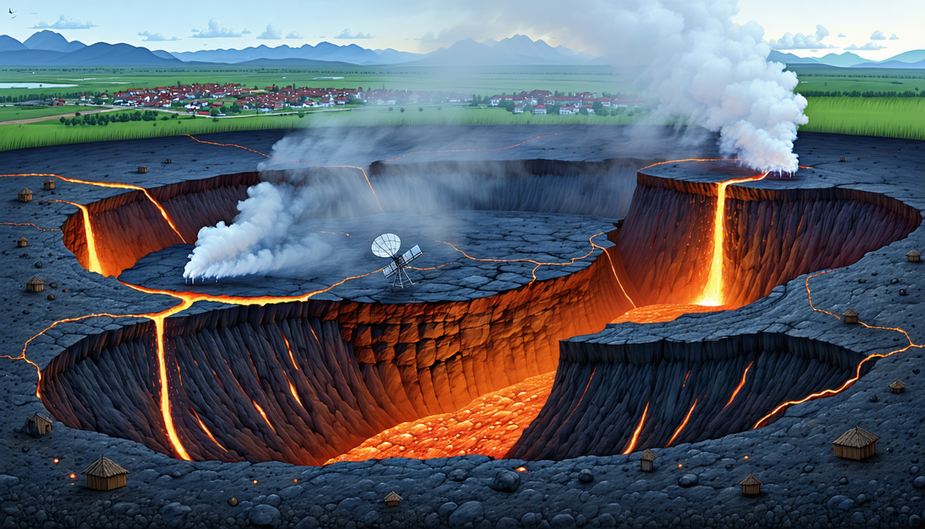
What happened
- The team read the caldera's turn to uplift as its main reservoir inflating again, possibly fed by a new, deep magma source.
- The measurements came from Sentinel-1 radar interferometry, with a pass about every 12 days and microwaves that see through tropical cloud.
- Lead author Lizzie Johnson, a May geosciences graduate of Penn State, published the work in Geophysical Research Letters.
Why it matters
- What it limits constraint A monitoring baseline at Masaya has to treat the crater and the wider caldera as separate signals, since they moved in opposite directions during the same years.
- Who's exposed exposure About 2 million people live within 21 km and tourists visit the caldera's national park, so any gas or eruption warning has to reach a large, partly transient population.
- What doesn't add up contradiction The press account calls this evidence of two new magma sources, while the authors' own description hedges both the deep source and the shallow reservoir as possible.
- What's now possible capability Radar that sees through cloud every 12 days makes a continuous multi-year deformation record possible at a tropical volcano, enough to separate a slow refill from a steady drain.
Next story · Science · Sep 10
Roughness maps push Mercury's total contraction up by 10 to 30 percentConfirmed3 publishers
Every reservoir in this study is an inference from a single quantity. Sentinel-1's radar measures the distance between the satellite and the ground on each pass, and the change between passes is the deformation [8]. "And when we look at all the different satellite images across multiple years, we can see how the distance between the satellite and the ground changes, where it is uplifting or subsiding," said Young Cheol Kim, who completed his Penn State doctorate this summer [10][13]. With a pass about every 12 days, the 2018 to 2024 window gives on the order of 180 looks at the caldera [14].
Going from ground motion to magma is the interpretive step, and the description from lead author Lizzie Johnson is hedged accordingly [7]. "When it's subsiding, that means that there's probably magma draining away from the volcano, but once the ground starts uplifting again, that can mean that there's potentially new magma moving in," she said [11].
The stronger evidence for a more complicated system is timing. The caldera went from sinking to rising [3]. Through that whole switch, the area around Santiago crater and its lava lake kept deflating, as it did for the full six years [5]. Johnson gave the team's reading: "This indicates that the plumbing system is more complex and could be due to decreasing magma in a second, shallower reservoir" [6].
How many sources there are depends on who is describing it. The account published on phys.org opens with researchers finding "evidence of two new magma sources" [9]. The findings it then describes are a main reservoir that is inflating, possibly from a new deep source, and a shallower reservoir that may be draining [4][6]. Both new elements come with a 'possibly' or a 'could' attached.
For the 2 million people within 21 km, the hazard they meet most often is gas [1]. "Although Masaya last produced a major lava flow in 1772, its persistent degassing often produces dangerously high concentrations of sulfur dioxide volcanic gas," Johnson said [12]. The caldera is also a national park, and tourists come to see the lava lake [1][12].
Johnson's own claim for the work is careful. The observations "may improve monitoring and eruption forecasting in the future," she said [15]. I think that wording fits the evidence. The study gives monitors a reason to treat the crater and the wider caldera as separate signals. Building it into an eruption forecast would take reservoir depths, volumes and deformation rates, and the press account does not give them. Kim described what the monitoring is for. "Doing continuous monitoring allows us to understand the baseline activity and see if things are changing," he said. "And then if there is a need to warn people, we can do that in a timely manner" [16].
What to watch
- Whether the paper's modelled reservoir depths and volumes place the possible new source beneath the main reservoir, as the press account implies.
- Whether Sentinel-1 passes after 2024 show the caldera still rising and Santiago crater still deflating.
- Whether gas or seismic records line up with the caldera's switch from subsidence to uplift.
Clarity's read
What the record supports and how the coverage leans. The claims behind it follow.
Reality
- Evidence62
- Adoption
- Not scored
- Hype gap+22
- Incentives20
- Confidence58
Perspective Coverage
3 publishers- Builder
- Builder 38%
- Operator
- Operator 57%
- Investor
- Investor 5%
Claim ledger
Ranked by verification strength, evidence, and original report placement.
- [1]
Masaya volcano in Nicaragua sits within 13 miles (21 kilometers) of 2 million people and is a popular tourist destination due to its lava lake.
- [2]
Penn State researchers used satellite data to investigate how the ground around Masaya changed over six years, a study period of 2018 to 2024.
- [3]
The researchers identified a period of subsidence followed by uplift; the caldera ground first receded and then rose again.
- [4]
They interpreted the change as an inflation of the main reservoir, possibly from a new deep magma source.
- [5]
The area around Santiago crater, the primary crater, and the lava lake deflated over the entire study period, independently of the transition to inflation of the main reservoir.
- [6]
"This indicates that the plumbing system is more complex and could be due to decreasing magma in a second, shallower reservoir."
- [7]
The findings were published in Geophysical Research Letters; lead author Lizzie Johnson graduated from Penn State with a bachelor's degree in geosciences in May.
- [8]
The study used interferometric synthetic aperture radar (InSAR) data from the Sentinel-1 satellite, which passes over the site about once every 12 days; synthetic aperture radar penetrates clouds using long microwave wavelengths, and interferometry measures distance.
- [9]
The phys.org account states that Penn State researchers found evidence of two new magma sources under the active volcano.
- [10]
"Cloud penetration is important for volcanoes because many of them, like Masaya, are in tropical areas where there is often cloud cover," Kim explained. "And when we look at all the different satellite images across multiple years, we can see how the distance between the satellite and the ground changes, where it is uplifting or subsiding."
- [11]
"When it's subsiding, that means that there's probably magma draining away from the volcano, but once the ground starts uplifting again, that can mean that there's potentially new magma moving in,"
- [12]
"Although Masaya last produced a major lava flow in 1772, its persistent degassing often produces dangerously high concentrations of sulfur dioxide volcanic gas." Johnson also said the caldera is a national park and popular tourist destination.
- [13]
Young Cheol Kim graduated from Penn State this summer with his doctorate in geosciences.
- [14]
A pass about every 12 days over the six-year 2018 to 2024 study period gives on the order of 180 satellite passes over Masaya.
- [15]
"These observations help scientists better understand how magma moves beneath Masaya and may improve monitoring and eruption forecasting in the future,"
- [16]
"Doing continuous monitoring allows us to understand the baseline activity and see if things are changing," ... "And then if there is a need to warn people, we can do that in a timely manner."
Sources
3 independent publishers whose own reporting we read for this story.
- gizmodo.com2 Million People Live Near ‘Mouth of Hell’ Volcano. It May Be Hiding a Second Magma Chamber
1 article · October 5, 2026
- phys.orgTwo active magma reservoirs may lie beneath Masaya volcano, near 2 million people
1 article · October 2, 2026
- sciencealert.com'Mouth of Hell' Volcano May Be Refilling With Magma
1 article · October 7, 2026
Topics and entities
Topics
- Volcano monitoring
- Satellite geodesy and InSAR